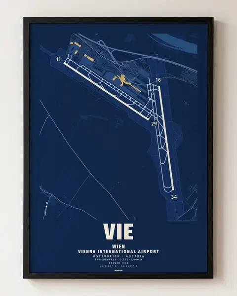
World 01 · Instant download
Your city.
On your wall.
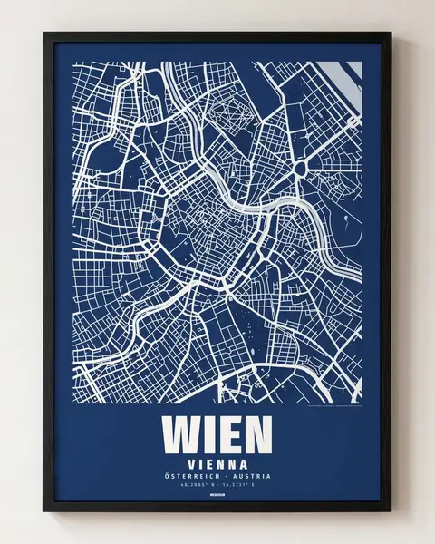
€6.90
1 city · 5 formats, PDF + JPG
PDF + JPG
right after payment
280 cities and 103 districts in 8 colours. Streets, river and parks — the name in its own script below. Vector PDF + JPG (300 dpi) in 5 frame formats.
By country
City maps from France
5 results · all cities
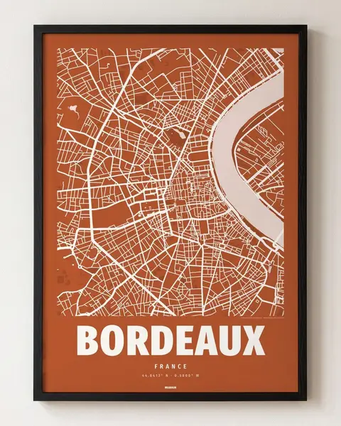 €6.90
Bordeaux
44.8412° N · 0.5800° W
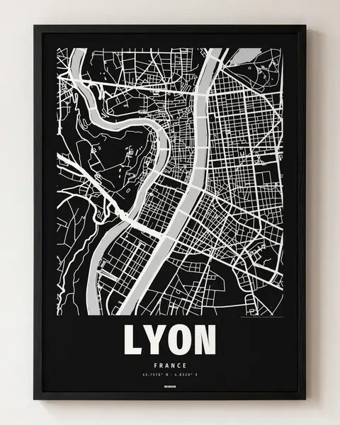 €6.90
Lyon
45.7578° N · 4.8320° E
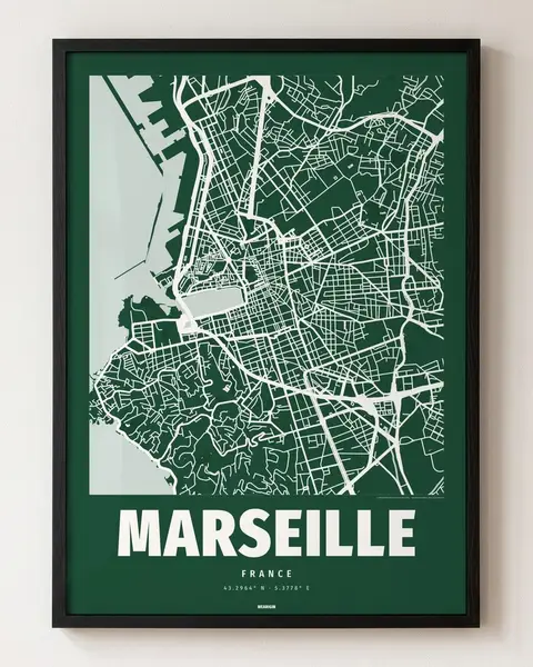 €6.90
Marseille
43.2964° N · 5.3778° E
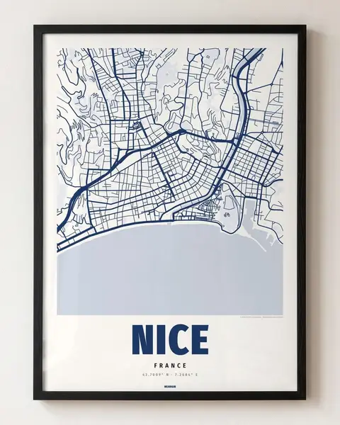 €6.90
Nice
43.7009° N · 7.2684° E
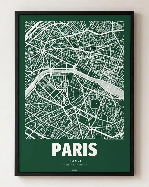 €6.90
Paris
48.8589° N · 2.3200° E
+ 4 districts
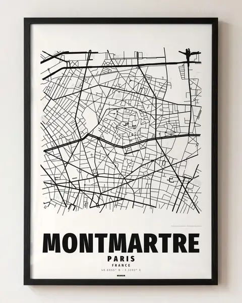 €6.90
Montmartre
48.8855° N · 2.3392° E
district of Paris
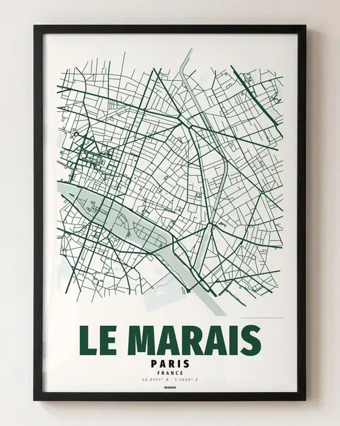 €6.90
Le Marais
48.8592° N · 2.3608° E
district of Paris
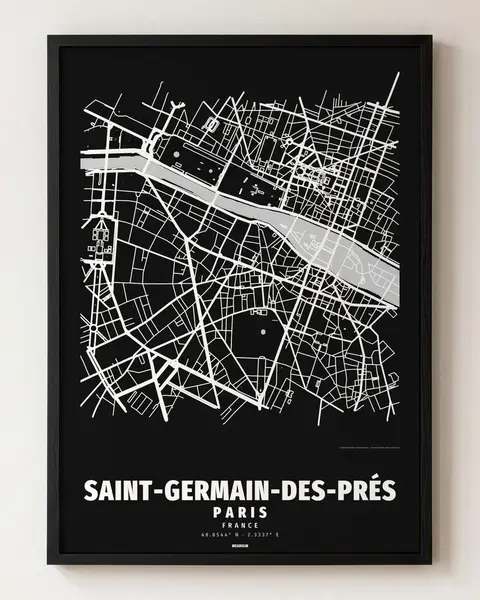 €6.90
Saint-Germain-Des-Prés
48.8544° N · 2.3337° E
district of Paris
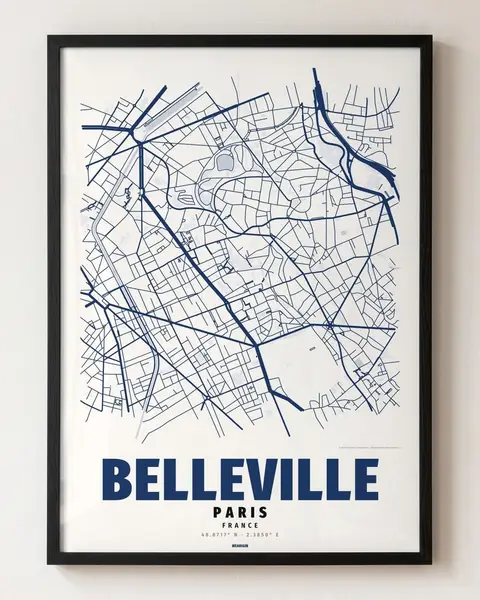 €6.90
Belleville
48.8717° N · 2.3850° E
district of Paris
How it works
On the wall in three steps
1
Choose a city and a colour
2
Pay and download instantly — PDF + JPG in 5 formats
3
Print at a copy shop or photo service, put it in a standard frame
Questions and answers
- What do I get?
- The chosen colour as 5 vector PDFs for standard frames: 50 × 70 cm, A4–A1, 3:4, 4:5 and 2:3, the same as JPG (300 dpi up to A2 or 20 × 30 in; larger: use the PDF), plus a short printing guide. A file to print yourself — not a printed poster and no frame.
- How much does it cost?
- €6.90 per poster. Any 3 digital posters together cost €14.90 — city maps, designs, race circuits, airports and alphabets can be mixed.
- Where can I print it?
- At a copy shop (bring the PDF on a USB stick or send it by e-mail), at a photo service in a drugstore or online, or at home up to A3. Matte paper around 200 g/m² looks best.
- Can I buy from outside Europe?
- Yes. It is a download, so nothing is shipped: you can buy and print it anywhere in the world.
Also from us