Turkmenistan · Digital poster
Ashgabat city map
Aşgabat
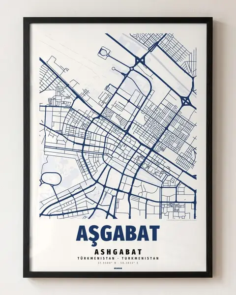
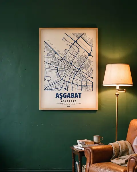
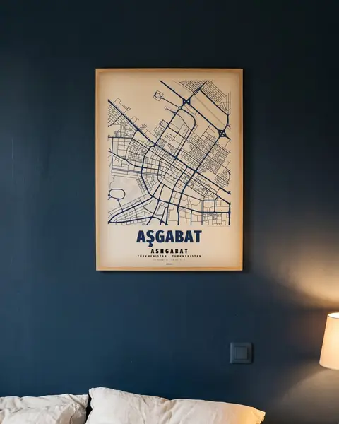
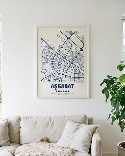
Colour: Night blue, light ground
€6.90
Digital file · instant download · no shipping
Download link valid for 30 days · up to 10 downloads · details
The download link is valid for 30 days from the date of provision and may be used a maximum of 10 times.
What you get
- · 5 vector PDFs for standard frames: 50 × 70 cm, A4–A1, 3:4, 4:5, 2:3 (e.g. 30 × 40, 40 × 50, 18 × 24 in) — plus the same as JPG (300 dpi up to A2 or 20 × 30 in; larger: use the PDF)
- · PDF: sharp at any size · JPG: 300 dpi at the stated size, plus a short printing guide
- · A file, not a printed poster, no frame
- · For private use, not for resale
Licence
With your purchase you acquire a non-exclusive, non-transferable licence for private use of the files. Permitted: printing for your own private use (also via a copy shop or photo service).
Prohibited: reselling or passing on the files, commercial use, making products for sale, using the files to train AI systems, or any public distribution of the files.
All copyright and other rights in the designs remain with the seller.
Where to print?
- · Copy shop near you: bring the PDF on a USB stick or send it by e-mail
- · Photo service in a drugstore or online: choose a poster size of the same shape (e.g. 50 × 70)
- · At home: up to A3 on a good printer
- · Tip: matte paper around 200 g/m² looks best
Ashgabat on the map
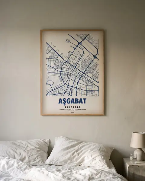
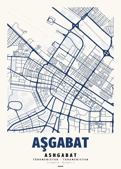
Near Independence Square, Ashgabat’s long parallel rows sit beside broad road curves. On our digital poster, wide diagonals and rounded junctions interrupt the regular rectangles, while open intervals separate some of the fields. The short cross streets keep their close spacing between the continuous axes, making a clear change of scale beside the larger curves and the more loosely drawn edges of the frame.
How the map is made
The street network of Ashgabat around the old town, drawn from open map data: main roads bold, lanes fine, water and parks as calm areas. Below it the name of the place, Aşgabat, and the coordinates of the centre (37.9500° N · 58.3833° E).
Map data © OpenStreetMap contributors (ODbL). Design by Wearigin.